Digital twin of a city
Digital twins reflect the successive development and current culmination of decades of data collection and analysis in the urban environment. A digital twin is more than just a digital geographic model of a city. It encompasses a multitude of models and data on a wide range of topics and now spans the movement and behaviour of air, water, light, heat, pollution and, above all, people. In general, a digital twin must succeed in depicting the city as a changing, dynamic, living environment. To achieve climate neutrality, many different interactions in a city's energy system must be taken into account. The Digital Twin can help to make the complex interrelationships visible.
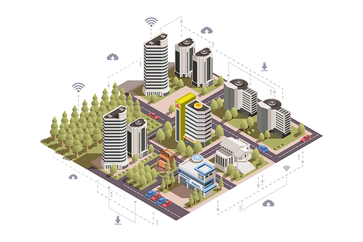 Illustration of a virtual city with data connections.
© Building vector created by macrovector - www.freepik.com
Requirements
To create a digital twin of a city, a large amount of data from different sources is needed. The more data available, the higher the benefit of the digital twin.
Frequently used data:
- Digital city modelling (CityGML) - storage and exchange of virtual 3D city models.
- Data from digital construction (BIM)
- Data from geographic information systems (GIS)
- Climate data from weather stations
- Data from energy suppliers
- GPS data from mobile phones
Essential prerequisites for the success of future city models:
- The modernisation of existing infrastructures
- Upgrading antennas and retrofitting sensors on streets and buildings
- Powerful data centres
- A solidly developed 5G network
- Well-equipped citizens with smart devices and affordable LTE data tariffs
Münster is a Smart City model city
The city of Münster has received 9.5 million euros in funding from the Federal Ministry of the Interior for Construction and Home Affairs (BMI). The money will be used, for example, to realise twelve selected project ideas. The funded projects are briefly described below:
Young Smart City: #stadtsache 2.0:
Involving and empowering children and young people for the smart city. Equipped with mobile devices, they explore their surroundings with a focus on topics of a digital city.
Leezenflow for the city region:
Further development of the green wave assistant "Leezenflow" and installation on the 14 cycle routes of the Münster city region.
Energy Heroes: Our Climate 2030:
Development of a digitally supported educational and information offer on the topic of climate protection and renewable energies.
Ideas farm: open source solution enabler:
Support and stabilisation of "open" civic ideas and digital projects through a sponsorship model.
Inner city workspace:
Increasing the attractiveness of the city centre by attracting and harnessing ideas, start-ups and projects from the digital economy.
Holistic city logistics:
With digital solutions for optimal city logistics. Development of digitally supported measures to make local delivery routes short and environmentally friendly.
Radio House 2.0:
Localising the digital: Developing a "third place" for applying and trying out techniques and digital solutions to acquire media and digital literacy.
Smart neighbourhoods for networked neighbourhoods:
Developing and implementing neighbourhood-based digital projects for new urban neighbourhoods such as Oxford and York.
Small box, big impact: Feel.Measure.Participate:
Development of an area-wide and participatory network of measuring stations to collect environmental data.
NICO: NetzInfrastrukturCOckpit:
Development of a central data platform and digital twin for urban infrastructures.
Data-Leeze: smart cycling city Münster:
Collection and analysis of data for the further development and expansion of cycling infrastructure.
BOOST:
Accelerate Loop and Bus Transport: Use of intelligent communication technologies to optimise local public transport.
Further info at: https://smartcity.ms/